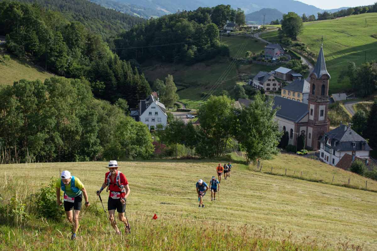
Looking for a change of scenery? Treat yourself to hours of discovery on foot between the Alsatian vineyards and the Vosges mountains.
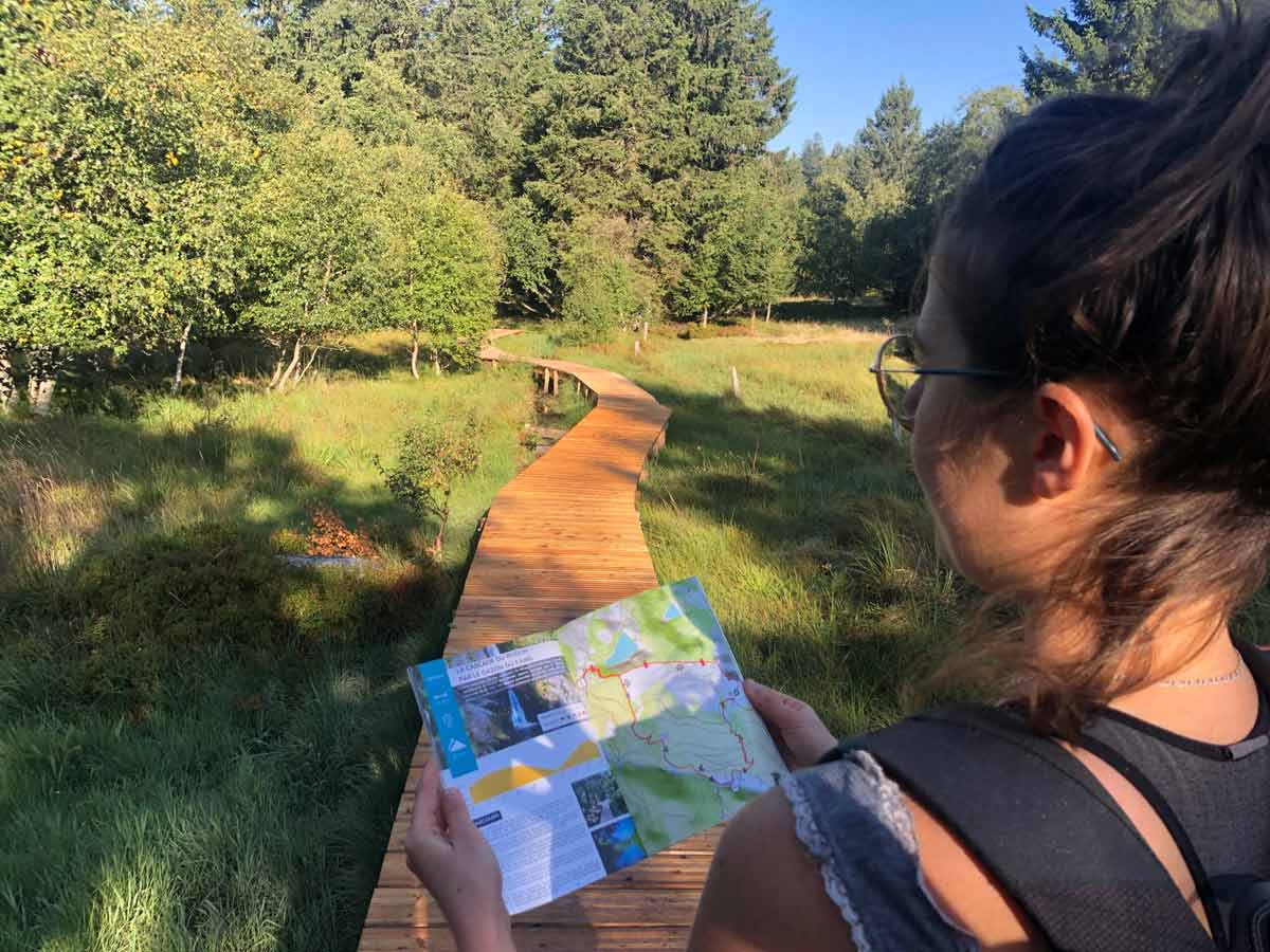
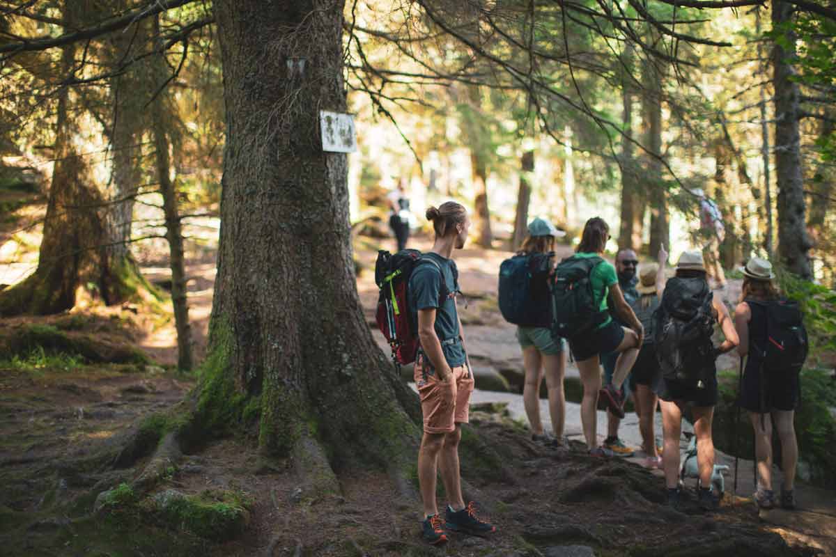
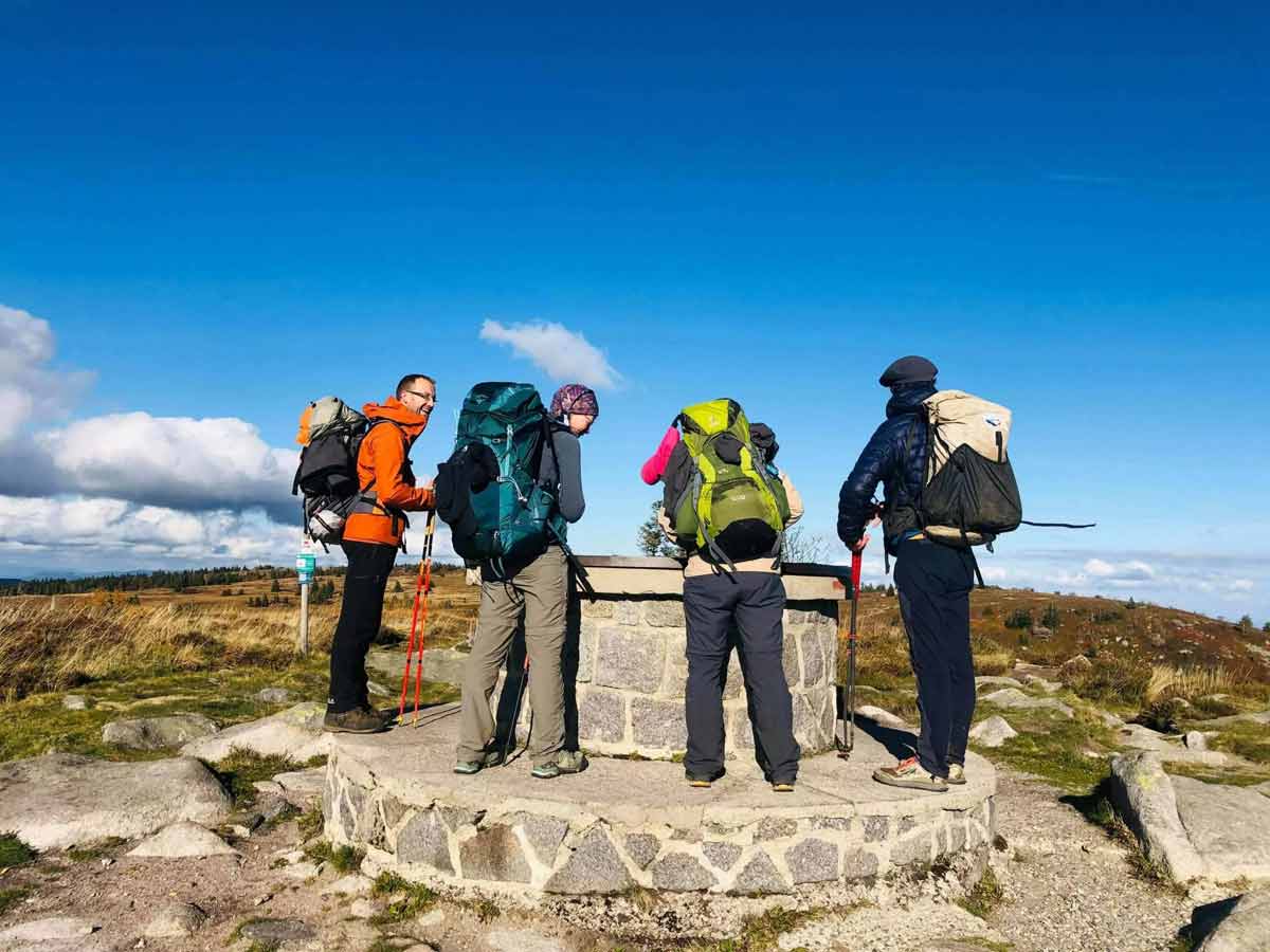
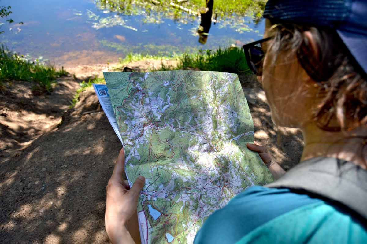
An ideal playground for walking enthusiasts, a true paradise for sportsmen and a land of a thousand nuances for an adventure in the heart of nature, there are many ways to discover the Kaysersberg valley on foot.
Take a stroll through the sections that inspire you, and we’ll help you map out the route that suits you.
Nous sommes présents sur plusieurs réseaux sociaux, et partageons régulièrement, photos, vidéos de bons plans, évènements… Suivez-nous pour ne rien manquer.